Saturday, May 4, 2013
Orographic Fog
One of my favorite words is "orographic," from the Greek roots for mountain and writing. This describes the weather patterns, typically rain, caused by mountains interrupting the prevailing winds. If you've visited a tropical island you will usually find the windward side of to be lush rainforest, while the leeward side can be surprisingly arid and dry. Air uplifted by island peaks cools adiabatically and moisture condenses out as rain, leaving only a dry wind to gust down the leeward side. The same thing happens with continental mountain ranges: as moist wind comes from the ocean, it is uplifted by geography, and tends to rain the most on the windward side. Thus if you drive eastward over the Sierras, you can notice the forested west side of the mountain range give way to dry scrubland as you descend into Nevada or the Owens Valley.

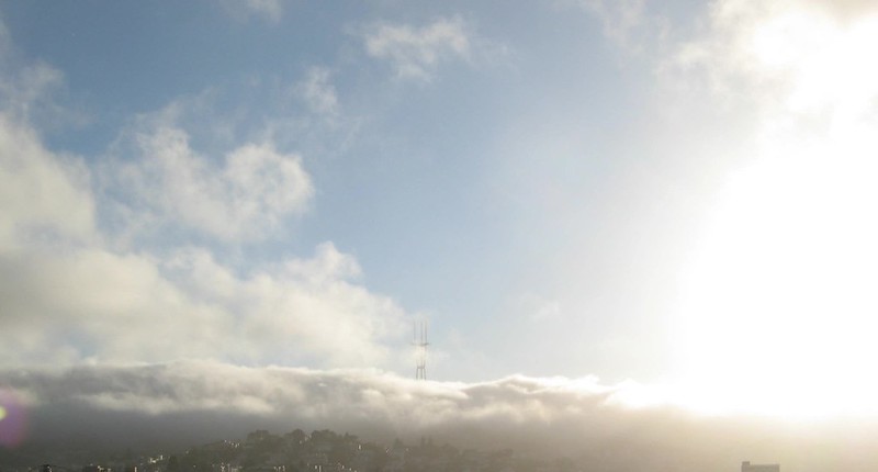
While this is noticeable at geographic scales of tens of miles, I was pleased to see the same phenomenon visible out my window the other day. I have a lovely view wast of San Francisco's Twin Peaks, behind which lurks the Pacific Ocean with it's chilly upwelling of cold Alaskan water. The prevailing west winds are cooled as they cross the upwelling, and the ocean moisture condenses out to form San Francisco's famous fog. Sometimes the conditions are perfectly poised that only orographic fog forms only over the hills.
It's not as visible as Twin Peaks, but San Francisco's Liberty Hill divides Noe Valley from the Mission and if you've driven up Dolores Avenue you know it's a substantial hill. One afternoon, this hill gave the incoming wind just enough lift to form a second band of orographic fog, captured here in time-lapse. It starts about 50 seconds into the video you can clearly see a secondary band of fog as the wind does an ollie over Liberty Hill.
